


One Earth.
One frame.
A unified geospatial reference environment for navigation, space and mission-critical applications.
A simpler way to describe position.
KeplerKoord presents RPCS as a global reference environment designed to express navigation and geospatial information in one common metric frame.
The technology →Orbit. Tracking. Mission.
A common reference story for space and ground-segment information.
Resilient by architecture.
Multi-source positioning and spatial interoperability for degraded or contested environments.

Continuity beyond GNSS.
Connect surface and underground positioning through a common metric reference.

Long routes. One spatial layer.
Positioning, radar, inertial and operational geospatial data in a common environment.
One core technology. Different missions.
RPCS remains the technical core. The sensor mix, operating environment and buyer change by sector.
This makes KeplerKoord easier to understand for a customer, a defense program and an investor without changing the underlying technology story.
View all solutions →Keep performance claims in context.
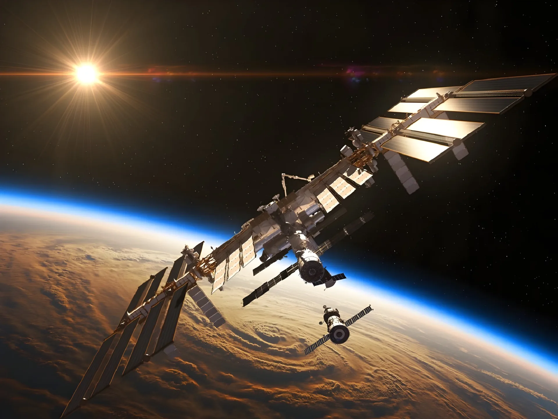
The supplied KeplerKoord material includes figures such as a stated accuracy below 10 cm, an 11,000 km navigation simulation and a sub-metre ISS use case.
Read the RPCS overview →Start with the mission.
Show us the operational environment, the sensor stack and the spatial problem. We show you how RPCS fits the frame.
Contact KeplerKoord →